


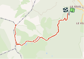
LAC NOIR FORT DORMILLOUSE

nordan
User

Length
13.4 km

Max alt
2490 m

Uphill gradient
978 m
Km-Effort
26 km

Min alt
1601 m

Downhill gradient
979 m
Boucle
Yes
Creation date :
2024-07-25 07:40:29.139
Updated on :
2024-07-25 13:42:36.254
4h17
Difficulty : Difficult

FREE GPS app for hiking
 SityTrail
IGN / Geographical institutes
SityTrail Plus
The world is yours!
About
Trail Walking of 13.4 km to be discovered at Provence-Alpes-Côte d'Azur, Alpes-de-Haute-Provence, Le Lauzet-Ubaye. This trail is proposed by nordan.
Positioning
Country:
France
Region :
Provence-Alpes-Côte d'Azur
Department/Province :
Alpes-de-Haute-Provence
Municipality :
Le Lauzet-Ubaye
Location:
Unknown
Start:(Dec)
Start:(UTM)
295041 ; 4921134 (32T) N.
Comments